Date of completion: 2015
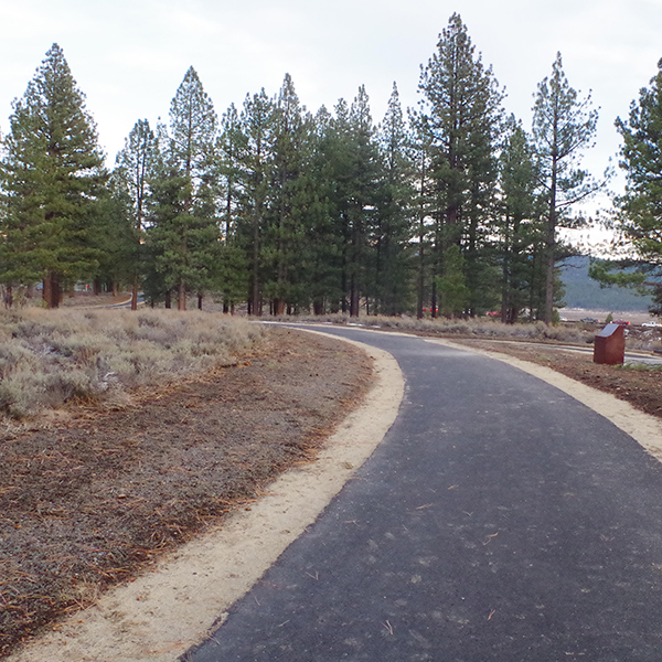
Description: Martis Valley Trail is a paved, multi-use recreational trail, that connects the communities of Truckee and Northstar, and ultimately the Lake Tahoe Basin. The 9+ mile trail begins near the southern limits of the Town of Truckee, crosses through Martis Valley, and ends near Sawmill Flat Reservoir at a junction with Forest Route 73 (AKA the Fiberboard Freeway), allowing connection to Tahoe’s north shore. AEC worked with the environmental consultant to complete an equal-weight CEQA analysis of two project alternatives. Multiple resource areas required bridge/boardwalk crossing evaluations to minimize impacts.