Date of completion: 2008
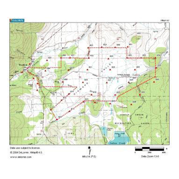
Description: This project consisted of ground control and aerial mapping for over 2,200 acres of ranch land for planning of future wastewater conveyance and storage facilities. Deliverables included #D, 2D and DTM mapping files in AutoCAD format on a horizontal datum NAD83 and vertical datum NGVD29, as well as digital color ortho-photography at 0.25-foot pixel.AEC was contracted to map the project area consisting of 2,200 acres.
Services:
- 2D and DTM mapping files in AutoCAD format on a horizontal datum NAD83 and vertical datum NGVD29
- 40 aerial targets set and located to meet STPUD’s specification of 40-scale mapping with 1’ contour intervals
- Aerial Planimetric and Contour Mapping
- delivered in uncompressed TIFF format with a .tfw world file
- Ground Control for Aerial Mapping
Client:
South Tahoe Public Utility District